GATHERING AND PROCESSING FIELD DATA WITH DRONES
Agricultural production is a very competitive area. The slightest competitive advantage means better crop quality, better profits and shortly “better performance”.
Read More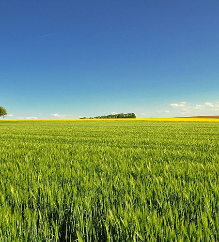
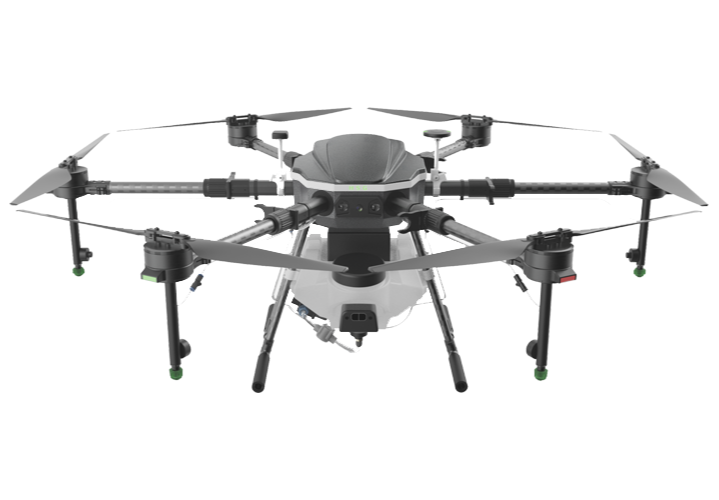
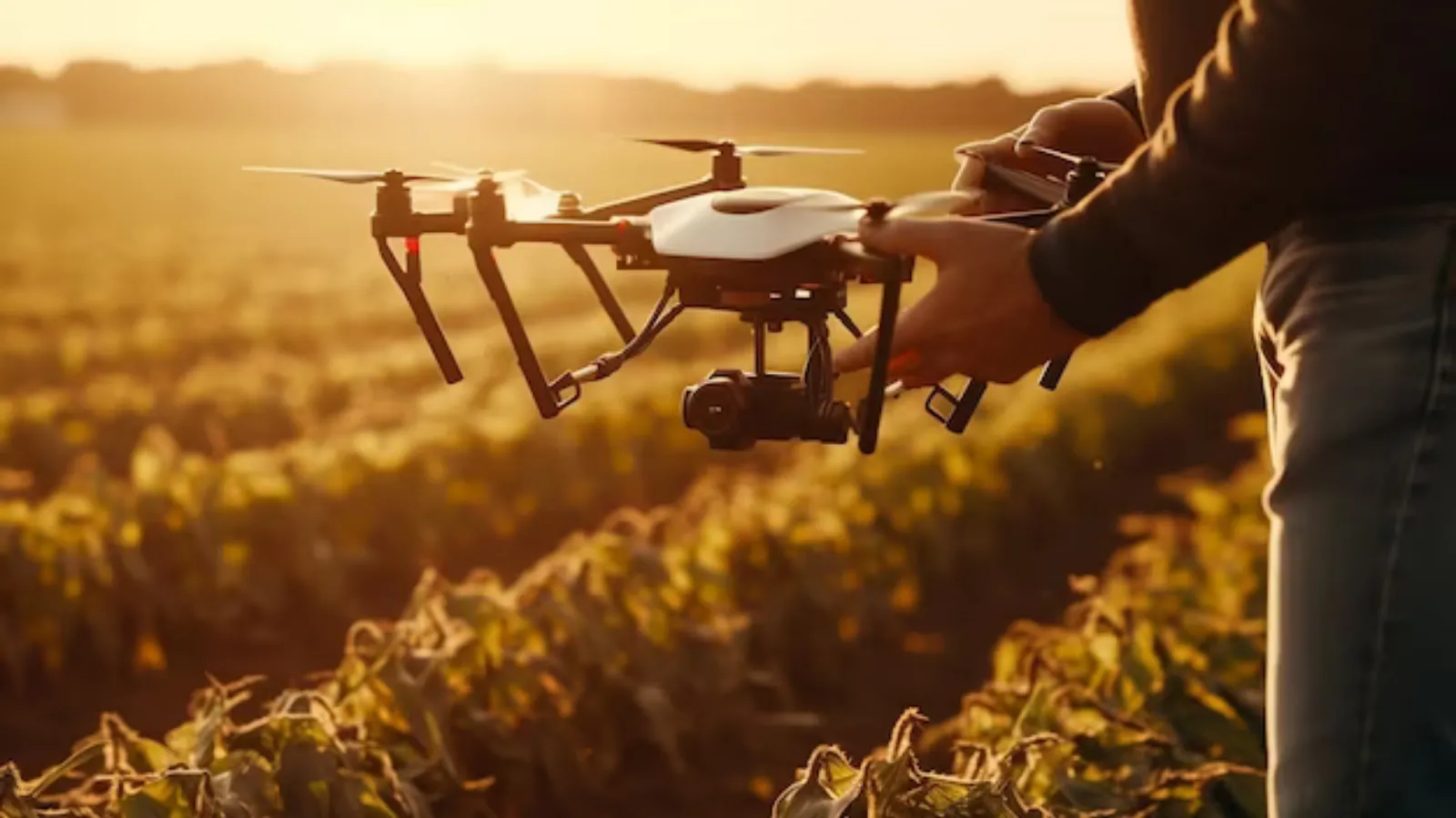
Equipped with an industrial flight controller, the D10 Plus has a high level of reliability. Its algorithm is optimized for agricultural uses.
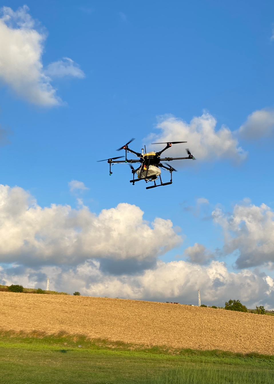
Equipped with an industrial flight controller, the D10 Plus has a high level of reliability. Its algorithm is optimized for agricultural uses and provides stable flight even in turbulent liquids in the tank.
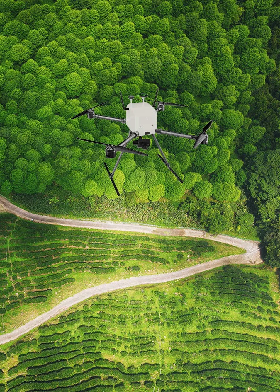
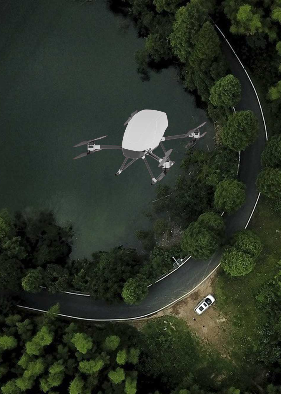
Mapping drones are equipped with special cameras and sensors that allow them to capture high-resolution images and data of a given area.
The drone cargo handling system allows you to deliver quickly and effectively through easy-to-use and safe drones equipped with state-of-the-art sensors.
DroFarm D10 Plus is an agricultural unmanned aerial vehicle designed to increase
productivity and profitability in the agricultural sector.


Agricultural production is a very competitive area. The slightest competitive advantage means better crop quality, better profits and shortly “better performance”.
Read More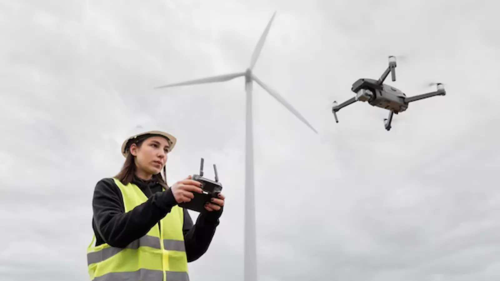
The commercial UAV (Unmanned Aerial Vehicle) pilot license is a mandatory document for individuals in Turkey who wish to operate drones for commercial purposes.
Read More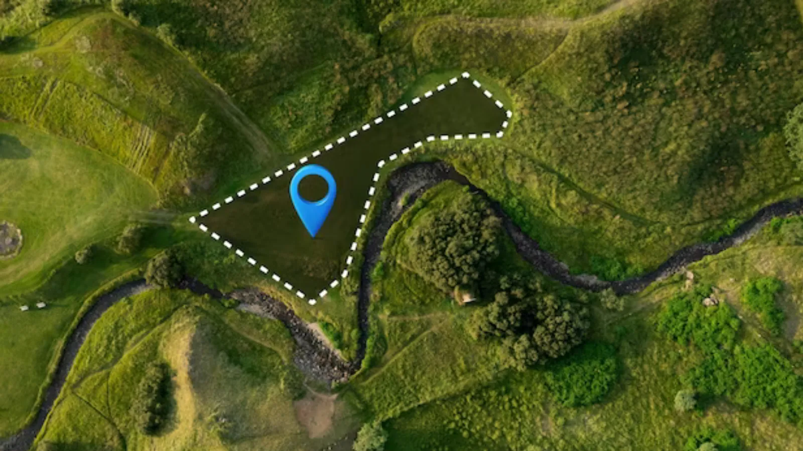
Mapping drones are unmanned aerial vehicles used for aerial photography and mapping purposes. This technology is utilized in various fields such as geographic information system
Read More