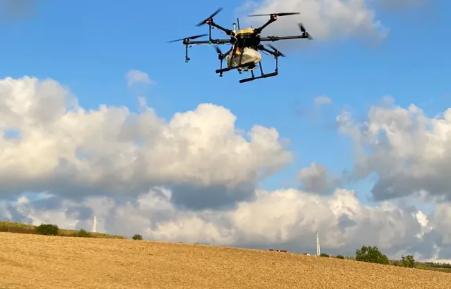
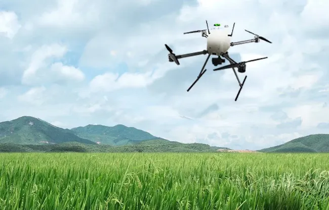
The agricultural sector is undergoing a significant transformation with developing technology and innovation. At the center of this transformation are the industrial drones of the HSG Aviation brand. HSG Aviation offers revolutionary technology to increase productivity in agriculture, improve product quality and use resources more effectively. In this content, we will examine the role and advantages of HSG Aviation brand industrial drones in the agricultural sector.
Industrial drones of the HSG Aviation brand are remote-controlled, autonomous or semi-autonomous aerial vehicles. When used in agriculture, these drones can perform a wide variety of tasks. These include functions such as aerial imaging, soil analysis, plant monitoring, water resources management and even spraying.
Industrial drones have great potential in the agricultural sector. It is expected that this technology will be used more for the future of agriculture. Industrial drones have great potential to make agricultural businesses more sustainable, efficient and profitable. Therefore, investing in this technology may be a step worth considering for all stakeholders in the agricultural sector.
HSG Aviation brand's mapping drones revolutionize the fields of mapping and exploration with their high-resolution image and data collection capabilities. From air pollution monitoring, geographic information systems (GIS) studies, terrain analysis and more, this technology is making a huge impact across a variety of industries. In this content, we will examine the role and advantages of HSG Aviation brand's mapping drones in the field of mapping.
HSG Aviation brand's mapping drones are remote-controlled, autonomous or semi-autonomous aerial vehicles. They are designed to perform mapping and data collection tasks. These drones are equipped with sensors such as high-resolution cameras, laser scanners and thermal cameras. They are an ideal solution for mapping projects.
HSG Aviation brand's mapping drones offer a powerful tool for data collection and mapping projects. These drones make a huge impact in geographic information systems, the construction industry, environmental monitoring, and many other industries. If you want to speed up the data collection process, obtain precise results and reduce costs for your mapping projects, HSG Aviation mapping drones can be a great help to you in this regard.