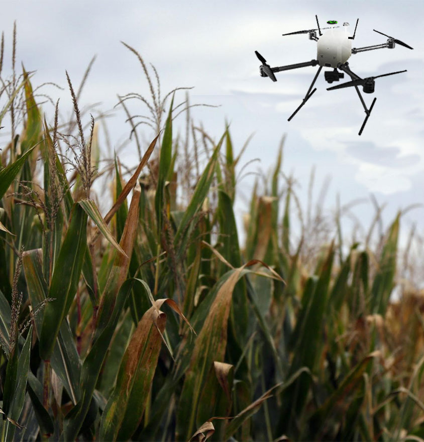
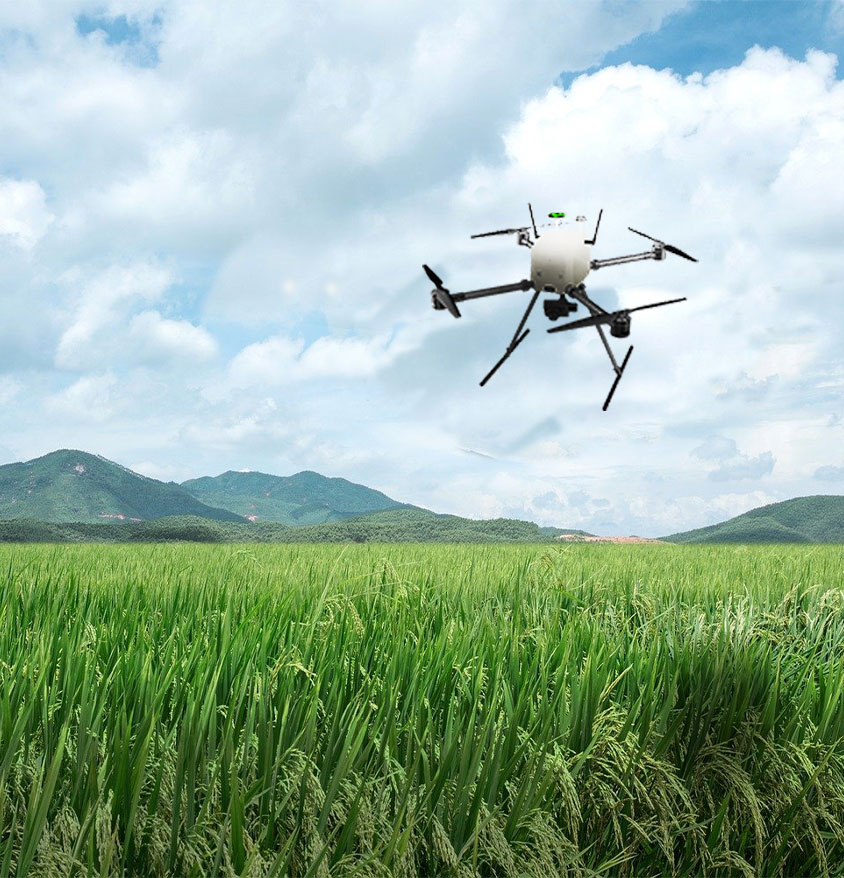

Dromap is a drone designed to provide real-time and practical mapping. This drone stands out with its switchable camera option, one-touch mapping, 30 minutes of airtime, autonomous flight capability, image stabilization features and 10km command control support. In addition, it is capable of precision flight with the RTK ground station. Thanks to these features, Dromap can be used in many fields such as general mapping, construction, energy, mining and environment. This drone is an essential tool for efficient and accurate mapping.
Mapping drones, also known as unmanned aerial vehicles (UAVs) or unmanned aircraft systems (UAS), are a technological marvel that has transformed the way we gather and utilize spatial data. These versatile aircraft are equipped with cameras, sensors, and GPS technology, enabling them to capture high-resolution imagery and collect valuable geospatial information.

Precise Flight Capability with RTK Ground Station

Control Range up to 15 KM

Image Stabilizer Feature

Optimized Mechanical Structure

Lithium Polymer Battery

Fully Autonomous Terrain Spray Mode
-Mapping drones are equipped with specialized cameras and sensors that allow them to capture high-resolution images and data of a specific area.
-These drones are capable of creating 3D maps and models of a site, which can be used for a variety of purposes, such as surveying, construction, and disaster response.
-They are also equipped with GPS and RTK to ensure that they can fly in a specific pattern, covering the entire area that needs to be mapped.
-The data captured by mapping drones can be analyzed and processed using software, creating detailed maps that can be used for a variety of purposes.
-Mapping drones are becoming increasingly popular in industries such as construction, mining, and agriculture, as they can provide accurate and detailed data quickly and at a lower cost than traditional methods.
-They can also be used for environmental monitoring, such as monitoring the health of a forest or tracking the movement of wildlife.
You can use a Dromap
-to create detailed 3D models of a site using data captured
-to survey and map large areas quickly and efficiently.
-to create detailed maps of a site that can be used for construction and development projects.
-to identify potential hazards and issues on a construction site.
-to create accurate and detailed maps of agricultural land, allowing farmers to better plan and manage their crops.
-to monitor environmental changes and track the health of a forest or other natural area.
-to create detailed images of remote areas or hard-to-reach locations that would be difficult or impossible to access using traditional methods.
-to monitor the progress of construction projects and identify any potential issues before they become major problems.
-to create detailed maps of mining sites, allowing companies to more effectively plan and manage their operations.
-to provide detailed images of a disaster-stricken area, helping emergency responders to quickly identify and respond to any potential issues.
| Model | DroMap |
| Dimensions | 1065mm x 1150mm x 617mm |
| Battery | 6S – LiPo |
| Battery Capacity | Battery Capacity 22000mAh |
| Battery Voltage | 22.2V – 25,2V |
| Power | 714,4 Wh |
| Battery Operation Temperature | 0 °C - 50 °C |
| Battery Storage Temperature | less than 3 months : 20°C-55°C longer than 3 months : 22°C-28°C |
| Charging Temperature | 5 °C - 35 °C |
| Weight | 3.2 kg |
| Maximum Take-off Weight | 4kg |
| Payload | 3 Axis Gimbal and Camera |
| Maximum Climb Speed | 8m/h |
| Maximum Descent Speed | 4m/h |
| Maximum Cruise Speed | 12m/h |
| Maximum Flight Level | 400m (Limited by Software)(Legal Level) |
| Maximum Wind Resistance | 30-40 km/Sa |
| Maximum Flight Time | 35-40min. (Full Load) |
| Operation Temperature | 0 °C - 50 °C |
| Controller Frequency | 2,4 GHz |
| Maximum Control Range | 15km |