Mapping drones are unmanned aerial vehicles used for aerial photography and mapping purposes. This technology is utilized in various fields such as geographic information systems, construction, agriculture, land analysis, disaster response, and many others. Mapping drones provide faster, cost-effective, and accurate data compared to traditional methods.
Applications of Mapping Drones
Agriculture Sector
- Drones are used for soil analysis and productivity assessments.
- They aid in detecting plant diseases and optimizing the use of agricultural chemicals.
- Assisting in crop monitoring and determining the appropriate harvesting time.
Construction Industry
- Mapping drones are employed to monitor construction sites and report progress.
- They help in land analysis and identifying suitable locations for construction projects.
- Conducting risk assessments for building safety.
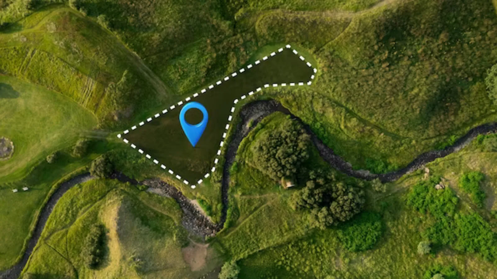
Geographic Information Systems and Mapping
- Drones play a significant role in creating detailed and accurate maps.
- They are effective in generating terrain maps, updating existing maps, and creating 3D models.
- Facilitating rapid acquisition of geographic data.
How to Use Mapping Drones
Step 1: Planning and Permissions
Before using mapping drones, it is crucial to determine the flight area and obtain the necessary permissions. Adhere to legal regulations while planning the flight.
Step 2: Drone Preparation
Charge the drone's batteries and correctly mount all equipment before the flight. Perform pre-flight checks to ensure everything is in order.
Step 3: Flight and Data Collection
Program the drone to fly over the designated area. The drone will capture high-resolution photos and videos for data collection.
Step 4: Data Analysis and Map Creation
Analyze the collected data and use geographic information systems (GIS) tools to process the data and create detailed maps.
Step 5: Evaluation of Results
Evaluate the accuracy of the generated maps and data. Collaborate with experts in the relevant fields to analyze the results.
Mapping drones are a significant technology that enhances efficiency and allows for informed decision-making with accurate data in various industries. With proper planning and analysis, mapping drones can be effectively used for mapping purposes. As technology continues to advance, mapping drones are expected to find even broader applications, offering future opportunities in this field.