Agricultural production is a very competitive area. The slightest competitive advantage means better crop quality, better profits and shortly “better performance”.
In order to have it, different tools are used in every field from irrigation to fertilization. One of the latest examples of this is "agricultural unmanned aerial vehicles".
One of the most important uses of drones on farms is land surveying and crop management. Before drones, farmers used to think that the soil and land structures in the fields were similar. The use of drones revealed that even the same parcel of land, its various parts are different.
This has led to the different handling of land segments. Less productive areas receive more fertilizer, areas with high water content are irrigated less, etc.
In this article, we will talk about how agriculture can be improved through “aerial data collection with drones”.
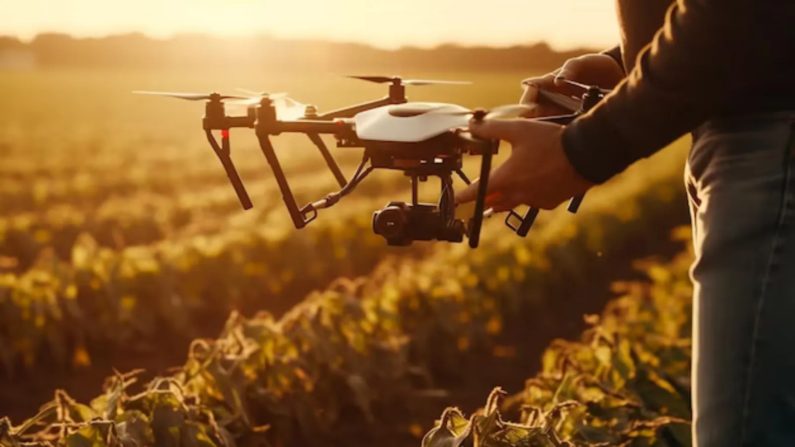
Data Collection with Drone
If you're new to drones, the thought of using them on your farm can be intimidating and very technical. But drones have now been commercialized to the point where anyone can access and use them.
To perform drone data collection on your land, all you need is to buy a drone equipped with the right payload. The payload on a ziarai drone typically consists of the sensor you will be using.
While data collection is relatively easy, the analysis part can be a technical challenge.
You may need to consult an agronomist to understand the implications of the data collected.
You should also use analysis software for advanced use cases, such as determining the natural water flow in your land. It is best to rely on expert advice, as it will be difficult to do such an analysis for the first time when you have no idea what is what.
Drone Data Collection Applications on Farms
Plant stress monitoring, crop yield estimation, weed identification, field height determination, etc. with an agricultural camera. You can capture a lot of data on topics.
Let's talk about a few of the most important applications of agricultural camera data.
CROP YIELD FORECAST
Farmers can use drone data to monitor crop output, estimate altitude and estimate relative biomass. Such data can be used to predict yields and guide replanting decisions.
The use of analysis software powered by advanced artificial intelligence algorithms helps maximize the accuracy of such efforts.
FIELD SOIL ANALYSIS
Analysis of drone images obtained through multispectral sensors helps determine the quality of the soil. Differences in radiation levels between different pieces of land on a farm can provide valuable information.
Using the analysis results, farmers can start dealing with dead soil areas. They can also adopt better farming models when planting.
IRRIGATION PLANNING
Drone data collected using thermal sensors can help farmers deal with irrigation problems and streamline the process.
Analysis of drone data can give insight into the natural land flow and turn it into an advantage. It helps prevent waterlogging. It is also important in making irrigation plans, areas with less water are irrigated more, etc.
PHYTOSANITARY ASSESSMENT
Analysis of multispectral drone images can aid in the detection of crop diseases. Sometimes, it increases the chance of successfully mitigating the damage by ensuring that the disease is detected before the physical signs of the disease appear in the crops.
CROP DAMAGE ASSESSMENT
It can be difficult to document and assess the damage done to crops by unforeseen events such as locust infestations, floods and fires. Drone images will also make our work easier in this regard.
Images documenting the damage can also be used to make a crop insurance claim.
Conclusion
The widespread use of agricultural drones offers a lot of advantages in terms of efficiency and cost savings.
In the future, as artificial intelligence evolves, we can expect to see even more useful applications of data collected via drones.